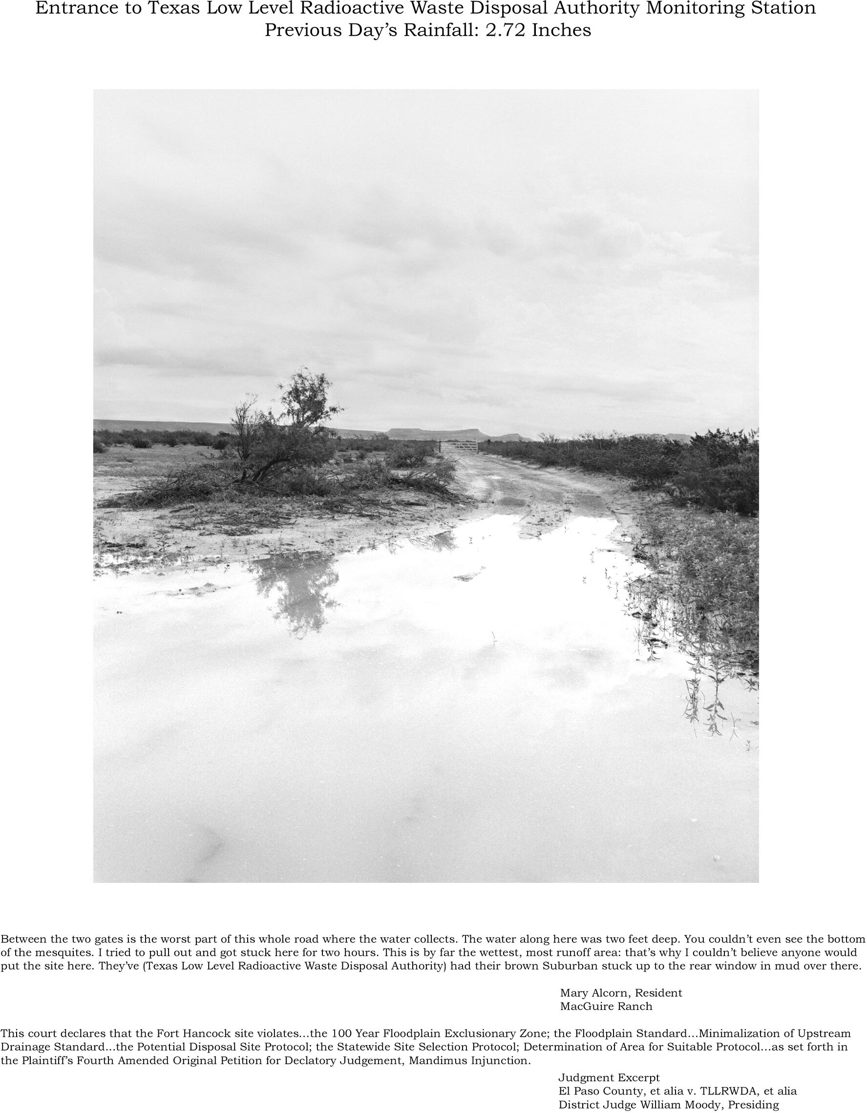
Entrance to Texas Low Level Radioactive Waste Disposal Authority Monitoring Station
Previous Day's Rainfall: 2.72 Inches
Between the two gates is the worst part of this whole road where the water collects. The water along here was two feet deep. You couldn't even see the bottom
of the mesquites. I tried to pull out and got stuck here for two hours. This is by far the wettest, most runoff area: that's why I couldn't believe anyone would
put the site here. They've (Texas Low Level Radioactive Waste Disposal Authority) had their brown Suburban stuck up to the rear window in mud over there.
Mary Alcorn, Resident
MacGuire Ranch
This court declares that the Fort Hancock site violates...the 100 Year Floodplain Exclusionary Zone; the Floodplain Standard...Minimalization of Upstream
Drainage Standard...the Potential Disposal Site Protocol; the Statewide Site Selection Protocol; Determination of Area for Suitable Protocol...as set forth in
the Plaintiff's Fourth Amended Original Petition for Declatory Judgement, Mandimus Injunction.
Judgment Excerpt
El Paso County, et alia v. TLLRWDA, et alia
District Judge William Moody, Presiding

Standard...Minimalization