
Machine Generated Data
Tags
Color Analysis
Feature analysis
Amazon
| Painting | 69.7% | |
Categories
Imagga
| streetview architecture | 99.5% | |
| paintings art | 0.4% | |
| interior objects | 0.2% | |
Captions
Microsoft
created on 2018-02-10
| a close up of a building | 51.1% | |
| a close up of a white building | 26.1% | |
| a building in the background | 26% | |
OpenAI GPT
Created by gpt-4o-2024-05-13 on 2024-12-30
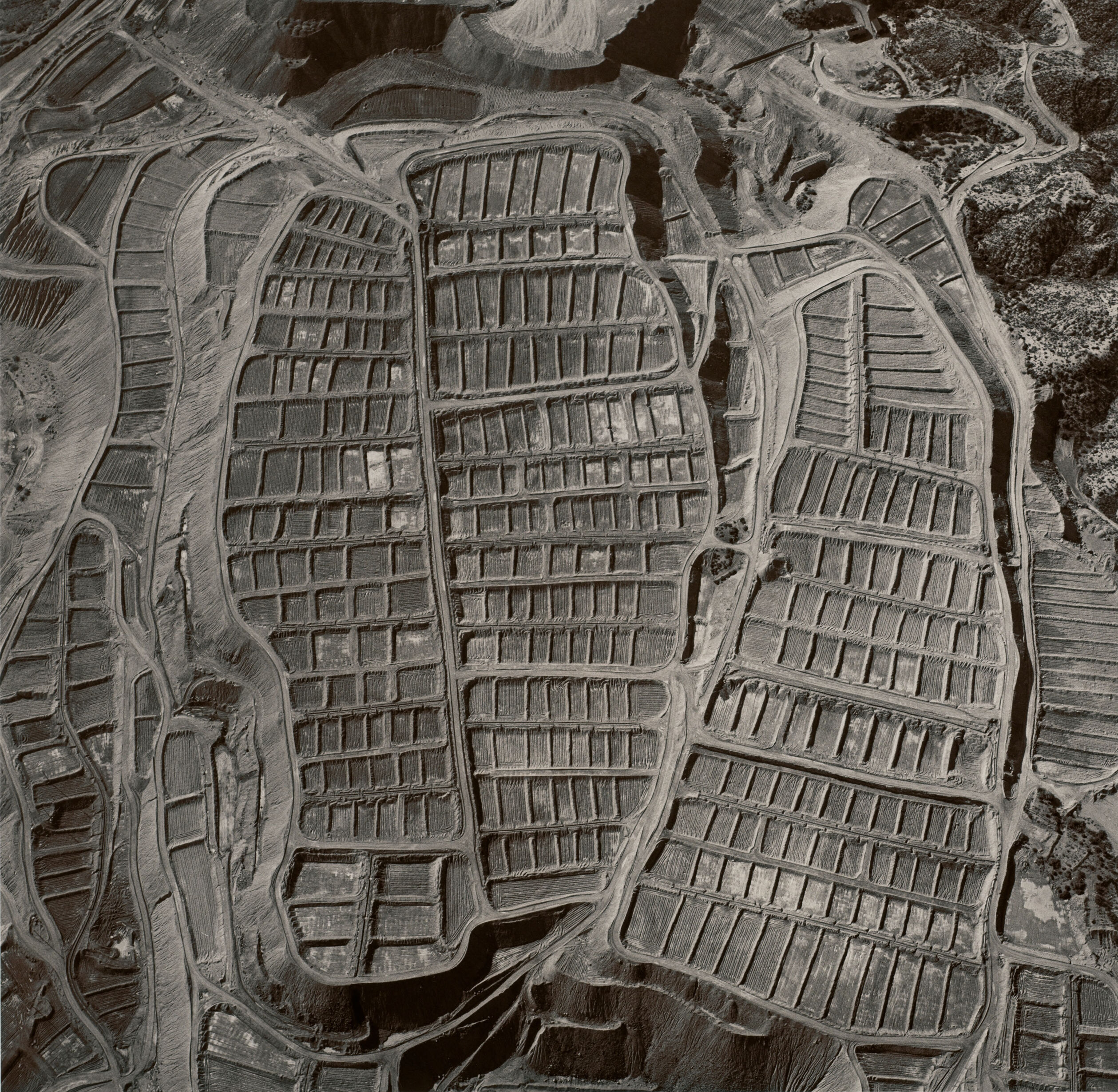
This is an aerial photograph depicting a landscape divided into numerous, uniform plots arranged in a grid-like pattern. The plots appear to be barren, possibly in preparation for construction or agricultural use. The image captures the intricate layout of roads and pathways intersecting the plots. Surrounding the structured area, the terrain shows varied features, possibly hills and uncultivated land. The image is in monochrome, providing a stark contrast between the plots and the natural landscape.
Created by gpt-4 on 2024-11-28
The image you've provided appears to be an aerial or satellite photograph of an area under development for residential or commercial purposes. The landscape is characterized by distinct, organized dirt plots, which are often indicative of a housing development in the early stages of construction. These plots are laid out in a pattern suggesting roads and infrastructure yet to be completed. There's no visible vegetation within the plots themselves, suggesting that the area has been cleared and graded for future construction. The surrounding area outside the development appears to have some vegetation, possibly trees. The image is in monochrome, which makes it difficult to distinguish certain details that could be more apparent in color.
Anthropic Claude
Created by claude-3-5-sonnet-20241022 on 2024-12-26
This is an aerial/satellite view of what appears to be a strip mining operation or similar industrial excavation site. The image shows a distinctive pattern of terraced levels cut into the landscape, creating a series of rectangular sections arranged in parallel. The terrain has been systematically carved into these geometric patterns, likely for resource extraction purposes. The black and white photograph captures the dramatic transformation of the natural landscape into an industrial site, with clear roads or pathways winding between the terraced sections. The overall pattern is reminiscent of agricultural terracing, but the industrial scale and regular geometric patterns suggest this is more likely related to mining or quarrying activities.
Created by claude-3-haiku-20240307 on 2024-11-27
This image appears to be an aerial photograph or satellite image of a residential or urban area. The image shows a grid-like pattern of streets and blocks, suggesting a planned or structured layout of buildings and infrastructure. The image is in black and white, giving it a stark and dramatic visual effect. The patterns and textures created by the buildings and roads are the main focus of the image, creating a striking geometric and abstract composition.
Meta Llama
Created by us.meta.llama3-2-90b-instruct-v1:0 on 2024-12-24
This aerial image depicts a large-scale agricultural landscape, characterized by numerous rectangular plots of land. The plots are arranged in a grid-like pattern, with some featuring straight edges and others having curved or irregular boundaries. The plots vary in size, with some being larger than others. The image is rendered in black and white, which may be due to the age of the photograph or the use of a specific filter. The overall appearance suggests that the image was taken from an airplane or a high-altitude vantage point, providing a bird's-eye view of the agricultural landscape. The image does not contain any visible people, animals, or vehicles, which adds to its abstract and geometric quality. The focus is solely on the arrangement of the plots and the surrounding terrain, creating a sense of order and organization. Overall, this image presents a unique perspective on agricultural land use and planning, highlighting the intricate patterns and structures that underlie human activity in the natural environment.
Created by us.meta.llama3-2-11b-instruct-v1:0 on 2024-11-26
The image depicts an aerial view of a large, open-pit mine or quarry. The pit is divided into several sections, each with its own set of roads and pathways. The ground is covered in a layer of dirt and debris, with some areas appearing more barren than others. The image suggests that the mine or quarry is currently inactive, as there are no visible signs of excavation or mining activity. The lack of machinery and equipment in the pit also supports this conclusion. However, the presence of roads and pathways indicates that the site has been used for some purpose in the past. Overall, the image provides a unique perspective on the layout and structure of the mine or quarry, highlighting its size and complexity. It also raises questions about the history and future use of the site, which could be explored further through additional research or investigation.