Machine Generated Data
Tags
Color Analysis
Feature analysis
Amazon
| Poster | 81.2% | |
Categories
Imagga
| text visuals | 88.3% | |
| paintings art | 11.7% | |
Captions
Microsoft
created on 2018-02-10
| a close up of text on a white background | 77.2% | |
| a close up of text on a black background | 71.2% | |
| a close up of text on a white surface | 71.1% | |
OpenAI GPT
Created by gpt-4o-2024-05-13 on 2024-12-30
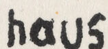
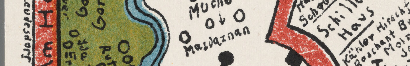
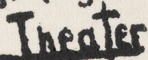
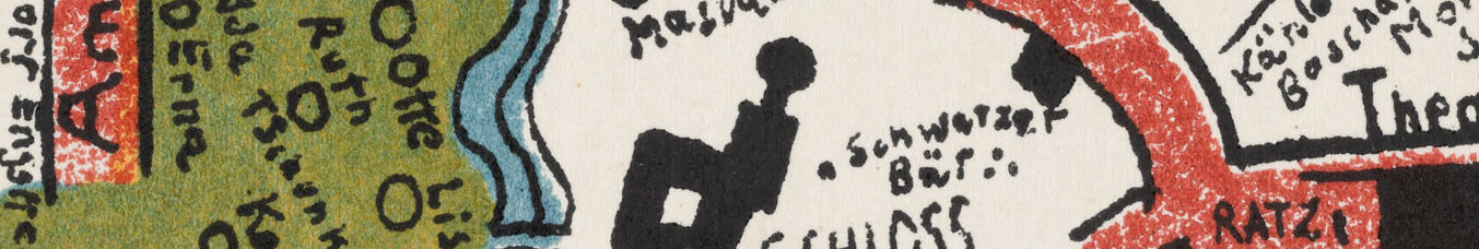
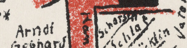
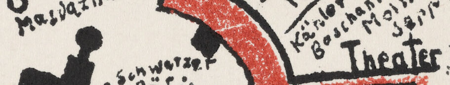
This image is a hand-drawn, colorful map advertising the Bauhaus Ausstellung (Bauhaus Exhibition) in Weimar in 1923. The map features stylized depictions of streets and significant landmarks in the city of Weimar. Key locations and important buildings, such as the "Bauhaus," "Goethe Haus," "Schiller Haus," "Museum," "Theater," and "Bahnhof" (Train Station), are highlighted. Labels for names of individuals associated with the Bauhaus movement, such as Kandinsky, Feininger, and Albers, are included in proximity to the areas of interest. The artwork appears whimsical and artistic, with a creative layout and the use of primary colors – particularly green, red, and black – to delineate various sections and paths. The map is both a guide and a piece of graphic art that reflects the innovative and avant-garde spirit of the Bauhaus school.
Created by gpt-4 on 2024-11-28
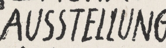
This image appears to be a poster or a postcard that features an artistic representation of a map or a layout plan. It is associated with the "Bauhaus" movement, as seen by the large text at the bottom that reads "BAUHAUS AUSSTELLUNG Weimar 1923," which translates to "Bauhaus Exhibition Weimar 1923." The map includes various hand-drawn elements with labels in German, suggesting points of interest or locations in Weimar, Germany. Significant cultural references like "Goethe Haus" (Goethe's House) and "Schiller Haus" (Schiller's House) suggest landmarks related to these famous literary figures. The map features a series of interconnected lines and blocks that likely represent streets and buildings, and is embellished with colorful illustrations such as green areas, a blue river, and textual annotations indicative of places and street names. The overall art style is reminiscent of the modernist design principles associated with the Bauhaus school, characterized by its use of geometric shapes, clear lines, and functionality. The piece also includes various names that could be referencing artists or significant figures related to the Bauhaus movement.
Anthropic Claude
Created by claude-3-5-sonnet-20241022 on 2024-12-26
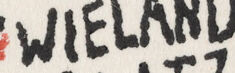
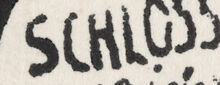
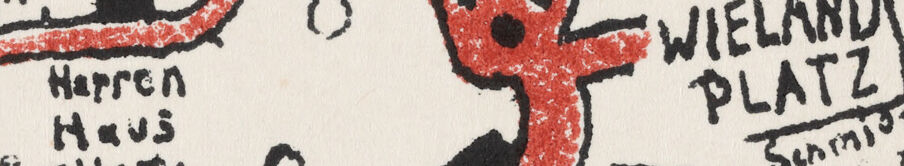
This is a stylized map created for the Bauhaus Exhibition in Weimar in 1923. It's an artistic rendering showing various landmarks and locations in Weimar, Germany. The map uses a color scheme of red, green, and blue, with black text labeling different sites. Key locations marked on the map include the Bauhaus school itself, the Wieland Platz, Goethe Haus, Schloss, and various other cultural and architectural points of interest. The map features a blue river or stream on the left side, with green spaces indicated nearby. The streets are marked in red, creating an interesting network through the city. Text is handwritten in a characteristically Bauhaus modernist style, and the overall design combines artistic elements with practical wayfinding information. At the bottom of the map is the title "BAUHAUS AUSSTELLUNG Weimar 1923" (Bauhaus Exhibition Weimar 1923), and there's a scale marker that shows "Nach Apolda."
Created by claude-3-haiku-20240307 on 2024-11-27
This image appears to be a hand-drawn map or schematic diagram depicting a location in Weimar, Germany in 1923. It features several buildings and landmarks labeled in German, including the "Bauhaus" and a museum. The layout seems to be a stylized representation of the area, with various symbols, lines, and text annotations providing additional details and information. The overall style suggests this is an artistic rendering or sketch rather than a strictly factual or technical map.
Meta Llama
Created by us.meta.llama3-2-90b-instruct-v1:0 on 2024-12-24
The image is a map of the Bauhaus school in Weimar, Germany, created by Oskar Schlemmer in 1923. The map features a red line that represents the path taken by students and faculty members as they moved from one building to another. The map also includes various symbols and markings that indicate different locations and activities within the school. **Key Features:** * Red line: represents the path taken by students and faculty members * Symbols and markings: indicate different locations and activities within the school * Buildings: labeled with their names and functions * Surrounding area: includes nearby streets, parks, and other landmarks **Significance:** The map provides a unique glimpse into the daily life and activities of the Bauhaus community during its time in Weimar. It highlights the school's emphasis on collaboration and interdisciplinary learning, as well as its commitment to innovation and experimentation in art and design. **Artistic Style:** The map is characterized by its simple yet expressive style, which reflects the modernist aesthetic of the Bauhaus movement. The use of bold lines, geometric shapes, and vibrant colors creates a dynamic and engaging visual representation of the school's layout and activities. **Historical Context:** The map was created during a period of significant change and upheaval in Germany, following the end of World War I and the rise of the Nazi party. Despite these challenges, the Bauhaus community remained committed to its artistic and educational mission, and the map serves as a testament to their dedication and creativity. **Conclusion:** The map of the Bauhaus school in Weimar is a fascinating and informative artifact that offers insights into the daily life and activities of this influential art school. Its unique artistic style and historical context make it a valuable resource for anyone interested in the history of modern art and design.
Created by us.meta.llama3-2-11b-instruct-v1:0 on 2024-11-26
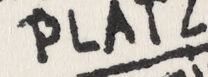
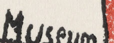
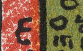
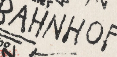
The image depicts a map of Weimar, Germany, created in 1923. The map is hand-drawn and features a mix of red, black, and green ink on a white background. It includes various locations such as the Bauhaus, Wielandplatz, Theater, Museum, and Bahnhof, which are marked with red lines and black text. The map also features a river running through the city, with a green area on the left side representing a park or forest. The map appears to be a guide for visitors to the city, highlighting important landmarks and attractions. The use of different colors and symbols helps to distinguish between different types of locations, making it easier for viewers to navigate the map. Overall, the image provides a unique glimpse into the layout and attractions of Weimar in 1923, offering a valuable resource for historians and enthusiasts of the city's rich cultural heritage.
Amazon Nova
Created by amazon.nova-lite-v1:0 on 2025-02-27
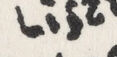
The image is a hand-drawn map of the Bauhaus Exhibition in Weimar, Germany, in 1923. The map is drawn in red, green, and blue colors, with the Bauhaus building highlighted in red. The map includes the names of various buildings and landmarks, such as the Goethe House, the Liszt House, and the Wieland Platz. The map also includes the names of the streets and the locations of the different exhibits within the Bauhaus building. The map is drawn on a white background, and the text is written in black.
Created by amazon.nova-pro-v1:0 on 2025-02-27
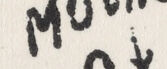
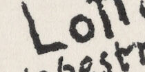
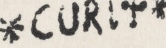
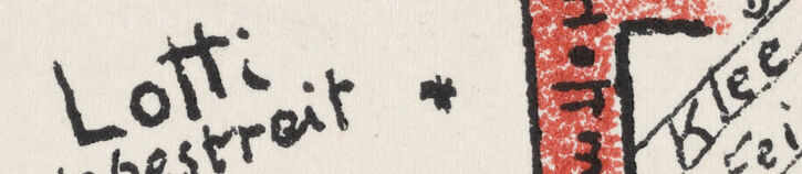
The image depicts a map of the Bauhaus complex in Weimar, Germany, from 1923. The map is drawn in a hand-drawn style with various colors and text. The main building, labeled "Bauhaus," is located in the center of the map. Surrounding it are other buildings and areas, including the "Goethe Haus," "Theater," "RATZ," "SCHLOSS," and "CURRY." The map also includes the names of streets and other landmarks, such as "Lotti Hegestrot Museum" and "Bahnhof." The text on the map is written in different fonts and sizes, adding to the overall artistic and unique design of the map.
Text analysis
Amazon