
Machine Generated Data
Tags
Color Analysis
Feature analysis
Amazon
Clarifai
AWS Rekognition
| Monitor | 63% | |

Categories
Imagga
created on 2022-06-04
| text visuals | 82.3% | |
| interior objects | 7% | |
| streetview architecture | 4.9% | |
| paintings art | 2.1% | |
| food drinks | 2.1% | |
Captions
Microsoft
created by unknown on 2022-06-04
| a painting hanging on a wall | 77.9% | |
| a painting on the wall | 77% | |
| a painting on a wall | 76.4% | |
Clarifai
No captions written
Salesforce
Created by general-english-image-caption-blip on 2025-05-21
a photograph of a drawing of a map of a map of a city
Created by general-english-image-caption-blip-2 on 2025-07-02
a black and white photograph of a map of a road
OpenAI GPT
Created by gpt-4o-2024-11-20 on 2025-06-09
This image appears to be a black-and-white photograph of a technical drawing or blueprint, possibly related to a landscape or architectural design. The drawing is framed and shows a detailed plan with labeled sections, contour lines, roads, and building layouts. There is a compass indicating orientation, text annotations specifying measurements or details, and a legend or table at the bottom right corner. In the foreground, the number "94.78" is displayed on a piece of paper or label within the frame.
Created by gpt-4o-2024-08-06 on 2025-06-09
The image appears to be a black and white photograph of an architectural or engineering blueprint. The blueprint itself is mounted on a transparent matting with a thicker black border, possibly indicating it was photographed for archival purposes. The schematic drawing in the center shows a top-down view of a land development, potentially a residential or commercial construction site, with plotted areas designated for buildings, roads, and green spaces. There is a north arrow on the blueprint suggesting orientation. The image also includes a numerical label "94.78" in the bottom right corner, which might be a reference or catalog number. The blueprint features annotations and labels, though they are too small and, therefore, not legible in this image. The overall presentation suggests this blueprint is part of an architectural archive or historical record.
Anthropic Claude
Created by anthropic.claude-3-haiku-20240307-v1:0 on 2025-06-14
The image appears to be a blueprint or technical drawing of a complex structure or facility. The drawing shows various geometric shapes, lines, and annotations that seem to represent different components or features of the structure. The image does not contain any human faces or identifiable individuals, so I will simply describe the contents of the image without identifying any people.
Created by us.anthropic.claude-3-5-sonnet-20241022-v2:0 on 2025-06-14
This image shows a framed architectural or site plan drawing. It appears to be a technical drawing or map with various lines and markings indicating what seems to be a property layout or development plan. The drawing is in black and white, mounted in what looks like a dark frame against a light background. There's a number "94.78" visible in the bottom right corner. The drawing shows various curved and straight lines that could represent roads, property boundaries, or topographical features. It has the characteristic appearance of a professional surveyor's or architect's drawing, with what appears to be a legend or notes section included on the document.
Meta Llama
Created by us.meta.llama3-2-11b-instruct-v1:0 on 2025-06-10
The image is a black-and-white photograph of a map, which appears to be a blueprint or architectural drawing. The map is surrounded by a thick black border and is placed on a light gray background.
Here are the key features of the map:
- Map Content:
- The map depicts a large area with several buildings and roads.
- There are several lines and symbols on the map, indicating different features such as roads, buildings, and boundaries.
- The map also includes some text, but it is too small to read.
- Map Size and Orientation:
- The map is rectangular in shape and has a portrait orientation.
- The map is approximately 8 inches wide and 10 inches tall.
- Map Background:
- The map has a light gray background, which provides good contrast for the black lines and text.
- The background is smooth and even, with no visible texture or pattern.
- Map Frame:
- The map is surrounded by a thick black border, which adds a touch of elegance to the overall design.
- The border is approximately 1/4 inch wide and has a slight bevel at the top and bottom edges.
In summary, the image is a high-quality photograph of a map that appears to be a blueprint or architectural drawing. The map is well-designed and easy to read, with clear lines and symbols that indicate different features. The light gray background and black border add to the overall aesthetic appeal of the image.
Created by us.meta.llama3-2-90b-instruct-v1:0 on 2025-06-10
The image presents a black-and-white map, likely a blueprint or architectural drawing, set against a light gray background. The map is encased in a black frame with a white border, which is itself surrounded by a larger black frame. A small white rectangle at the bottom right of the image displays the number "94.78" in black text.
The map appears to be a detailed layout of a building or complex, featuring various rooms and corridors. It includes several lines of illegible text, as well as a compass rose indicating north. The overall design suggests that this image may be a historical document or a piece of artwork, possibly related to architecture or urban planning.
Amazon Nova
Created by amazon.nova-lite-v1:0 on 2025-06-04
The image is a monochromatic photograph of a framed architectural plan. The frame is black with a white border, enhancing the contrast of the photograph. Inside the frame, there is a white sheet of paper displaying a detailed architectural layout. The layout appears to be a floor plan, showing various rooms and pathways with annotations and measurements. The design is intricate, with numerous lines and labels indicating different sections of the building. At the bottom of the frame, there is a label with the number "94.78," which could be a reference number or a page number. The photograph is clear and detailed, allowing for a close examination of the architectural plan.
Created by amazon.nova-pro-v1:0 on 2025-06-04
The image shows a black-and-white photograph of a framed document, possibly a map or a plan. The document appears to be a technical drawing or a blueprint, with lines, symbols, and text. The frame around the document is black, and it is mounted on a white background. The number "94.78" is written in the bottom right corner of the frame, possibly indicating the size or scale of the document.
Google Gemini
Created by gemini-2.0-flash-lite on 2025-05-18
Here's a description of the image:
The image is a black and white photograph of a map or architectural plan. The map is framed and positioned within a larger, black frame. The map itself shows a complex arrangement of structures, likely buildings or housing units, with connecting roads and contour lines indicating the terrain. There are labels and legends present, and a compass rose is drawn on the map for orientation. The number "94.78" is printed at the bottom center of the image, perhaps an accession number or some form of identification. The map's detail suggests it may be an architectural blueprint or a land development plan.
Created by gemini-2.0-flash on 2025-05-18
Here is a description of the image:
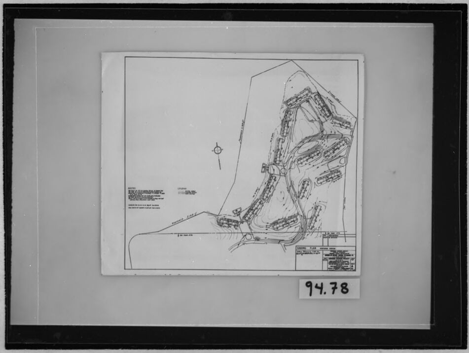
The image shows an architectural site plan held inside a film negative holder. The plan appears to be for a residential development.
The site plan shows numerous housing units arranged along curving roads that follow the contours of the land. There are contour lines indicating changes in elevation. Along the bottom edge, there's a waterfront or shoreline feature labeled as "PROPOSED LAKE."
On the lower right corner, there is a title block or legend with a description of the plan. The upper left corner contains a "NOTES" section, and further to the right, a "LEGEND" section. A compass rose is located near the top-left. The handwritten notation "94.78" is present on the frame near the bottom.
Mistral Pixtral
Created by us.mistral.pixtral-large-2502-v1:0 on 2025-06-05
The image shows a framed black-and-white architectural or engineering drawing. The drawing appears to be a detailed site plan or layout, likely for a building or complex. The drawing includes various lines, symbols, and annotations that are typical of such plans, indicating different structures, pathways, and possibly utilities or other features.
The drawing is mounted within a black frame, and there is a white label at the bottom center of the frame with the number "94.78" written on it, which might be an identification or catalog number. The plan itself includes a title block in the lower right corner, which typically contains information such as the project name, scale, date, and the names of the designers or engineers involved. However, the specific details in the title block are not clearly legible in this image.
Overall, the image depicts a professionally framed technical drawing, likely of historical or archival significance given the care taken in its presentation.
Qwen
Created by Qwen/Qwen2.5-VL-7B-Instruct on 2025-07-26
The image appears to be a framed architectural or engineering drawing. The drawing itself is on a piece of paper placed within a black-framed presentation board. The drawing includes a detailed plan of a project, which seems to be a proposed construction site. It includes labeled areas, possibly indicating different sections or components of the project. There are also lines and labels that suggest the layout of roads, buildings, or other structures. The bottom right corner of the drawing has a reference number, "94.78," which is likely an identification or catalog number for the drawing. The overall appearance of the image suggests it is a professional or technical document, possibly used for planning or reviewing the design of a site.
Created by Qwen/Qwen2.5-VL-72B-Instruct on 2025-07-26
This image is a black-and-white photograph of a framed document or blueprint. The document appears to be a technical drawing or layout plan, possibly of a military or industrial facility. The drawing includes various structures and pathways, with some text and annotations on the left side. There is a compass rose near the center of the drawing, indicating the orientation. The frame is dark, and the document is mounted on a light-colored background. In the bottom right corner of the frame, there is a label with the numbers "94.78." The overall appearance suggests that this is an archival or historical document.
Text analysis
Amazon


