
Machine Generated Data
Tags
Amazon
created on 2022-01-22
Clarifai
created on 2023-10-26
Imagga
created on 2022-01-22
Google
created on 2022-01-22
| Photograph | 94.2 | |
|
| ||
| Mountain | 92.7 | |
|
| ||
| Natural landscape | 85.6 | |
|
| ||
| Art | 82.8 | |
|
| ||
| Terrain | 80.9 | |
|
| ||
| Adaptation | 79.2 | |
|
| ||
| Landscape | 79.2 | |
|
| ||
| Painting | 78.4 | |
|
| ||
| Landmark | 77.5 | |
|
| ||
| Sky | 77 | |
|
| ||
| Geological phenomenon | 76.8 | |
|
| ||
| Formation | 76 | |
|
| ||
| Mountain range | 75.2 | |
|
| ||
| Hill | 73.8 | |
|
| ||
| Fog | 73.5 | |
|
| ||
| Wood | 70.2 | |
|
| ||
| Visual arts | 69.9 | |
|
| ||
| Geology | 69.3 | |
|
| ||
| Rock | 69.2 | |
|
| ||
| Outcrop | 69 | |
|
| ||
Color Analysis
Feature analysis
Amazon
Painting
| Painting | 96.2% | |
|
| ||
Categories
Imagga
| paintings art | 98.3% | |
|
| ||
Captions
Microsoft
created on 2022-01-22
| a close up of a stone wall | 42.6% | |
|
| ||
| an aerial view of a stone wall | 42.5% | |
|
| ||
| close up of a stone wall | 35.3% | |
|
| ||
Text analysis
Amazon

Corps

Engineers

OF

1st

Corps of Engineers Commanding.

of

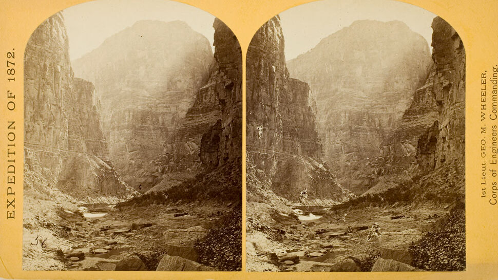
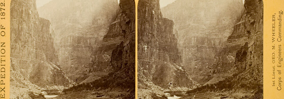
EXPEDITION OF 1872.

1872.

GEO.

EXPEDITION

Commanding.

WHEELER,

1st Lieut. GEO. M. WHEELER,

Lieut.

M.
EXPEDITION OF 1872.
1st Lieut. GEO. M. VWHEELER,
Corps of Engineers Commanding.

EXPEDITION

OF

1872.

1st

Lieut.

GEO.

M.

VWHEELER,

Corps

of

Engineers

Commanding.