Machine Generated Data
Tags
Color Analysis
Categories
Imagga
| text visuals | 99.9% | |
Captions
Microsoft
created by unknown on 2019-06-06
| a close up of text on a white background | 76.3% | |
| a close up of text on a white surface | 73.5% | |
| a close up of text on a black background | 70.1% | |
Google Gemini
Created by gemini-2.0-flash on 2025-05-23
Here's a description of the image:
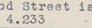
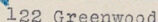
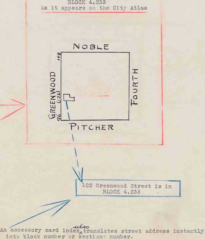
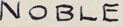
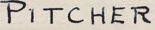
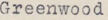
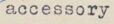
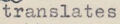
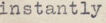
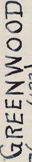
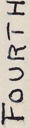
The image appears to be a scan of a page from a planning or city development document. It features a sketch or diagram of a city block, outlined within a larger red square. The block is labeled with the streets that border it: Noble on the top, Greenwood on the left (with the number 122 in parentheses), Fourth on the right, and Pitcher on the bottom. The dimensions 96 and 148 appear on the diagram's left and top sides, respectively. Inside the larger red square, the text "BLOCK 4.233" is written in red, followed by "As it appears on the City Atlas". A blue box in the lower center of the image states that "122 Greenwood Street is in BLOCK 4.233." Finally, at the bottom, a note says "An accessory card index also translates street address instantly into block number or section number." Blue arrows point to the blue box and the note. An additional arrow points to the top left of the diagram. The background paper appears slightly yellowed and has some minor creases.
Created by gemini-2.0-flash-lite on 2025-05-23
This image is a hand-drawn map or diagram, possibly from a city planning or archival document. Here's a breakdown:
Overall Structure:
- The image presents a simplified block map and an explanation of how street addresses relate to block numbers. It appears to be used for city atlases or similar systems.
Main Elements:
- Block Diagram: A large, red-outlined square represents a city block. The sides are labeled with street names: "NOBLE" at the top, "FOURTH" on the right, "PITCHER" at the bottom, and "GREENWOOD" on the left. The dimensions of Greenwood is 96, 148.
- Address Example: A blue box near the bottom states "122 Greenwood Street is in BLOCK 4.233". This is an example of how a street address is connected to a specific block number.
- Textual Explanations:
- "BLOCK 4.233 As it appears on the City Atlas": This text, inside a red box, likely titles the section and mentions its relevance to a city atlas.
- "An accessory card index also translates street address instantly into block number or sections number.": The text clarifies the use of a card index to translate street addresses into block numbers.
Additional Details
- Arrows: Arrows are used to connect the diagram to the explanatory texts.
- Handwritten Text: The labels and explanations are all hand-written.
In essence, the image is a simplified instructional diagram showing how a city block is defined by street names and how street addresses can be located within blocks using a system like a city atlas.
Text analysis
Amazon